 Na de fantastische ervaring opgedaan vorig jaar bij de Sioux Falls Sculpture Walk 2013 met het beeld “Dreamer”, die trouwens in de prijzen is gevallen, besloot Rik het avontuur aan te gaan om zijn inzending “Under Pressure” voor de Sculpture Walk 2014 ter plaatse te gaan maken met de hulp van de lokale organisatie Lifescape. Lifescape creëert op creatieve manieren integratie projecten voor mensen met een beperking.
Nodeloos te zeggen dat een dergelijk avontuur grote indruk maakt op Rik en de mensen die meewerken aan het proces. De Amerikaans media is dit ook niet ontgaan en wijdde reeds enkele reportages aan het project. Hoewel Rik volledige opgezogen wordt door het kunstwerk “Under Pressure” die als het ware een aanklacht is op de druk die ons door de maatschappij wordt opgelegd doorheen ons leven, wil hij toch de tijd nemen zijn eigen indrukken te delen. Hier volgt dan ook het verhaal van Rik in Sioux Falls.
Waar ligt Sioux Falls
Geschiedenis
Het gebied dat nu South Dakota heet werd oorspronkelijk bevolkt door de Indianenstammen als de Lakota, die ook bekendstaan als de Dakota of de Sioux. Lakota betekent “vriend”. Daarna was de regio lang in Franse handen. Een gedeelte van de staat werd door de Verenigde Staten verworven in een transactie die de Louisiana Purchase is gaan heten. De rest volgde in 1818, toen hierover een verdrag werd gesloten met de Engelsen.
Op 2 november 1889 werden North Dakota en South Dakota formeel, als 39ste en 40e, staten van de Verenigde Staten. Op 29 december 1890 vond bij het plaatsje Wounded Knee een bloedbad plaats.
Geografie
De staat South Dakota behoort tot de Great Plains-regio en beslaat 199.905 km², (Belgie beslaat 30.528 km2) waarvan 196.735 km² land is. Het westen behoort tot de Mountain-tijdzone, het oosten tot de Central tijdzone. South Dakota grenst in het noorden aan North Dakota, in het westen aan Montana en Wyoming, in het oosten aan Minnesota en Iowa en in het zuiden aan Nebraska. De belangrijkste rivier is de Missouri. Het grootste gedeelte van de staat is vrij vlak, maar in het westen bevinden zich de Black Hills en de Badlands. Het hoogste punt is Harney Peak (2207 m). In de Black Hills bevindt zich het wereldberoemde Mount Rushmore-monument. De Badlands zijn rijk aan fossielen.


Demografie en economie
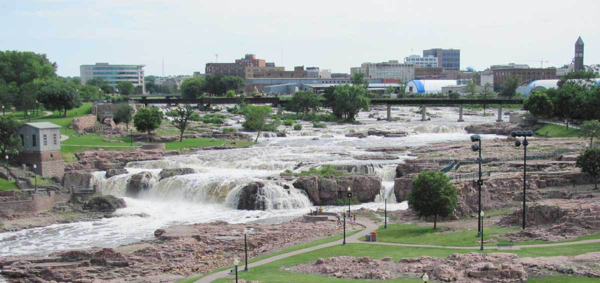
In 2000 telde South Dakota 754.890 inwoners (3.8 per km²) waarvan ongeveer 50% van de bevolking in een stedelijk gebied woont. De grootste stad is Sioux Falls, in het zuidoosten.
In de staat liggen uitgestrekte Indianenreservaten.
Working on “Under Pressure” in Sioux Falls – South Dakota
After the fantastic experience gained last year at the Sioux Falls Sculpture Walk 2013 with the statue “Dreamer”, which, by the way, got awarded, Rik decided to face the adventure and to go and create his entry “Under Pressure” for the Sculpture Walk 2014 at the location itself with the help of the local organization LifeScape. LifeScape creates in a creative manner integration projects for people with a disability.
Needless to say that such an adventure makes a big impression on Rik and the people involved in the process. This also didn’t pass unnoticed with the American media who devoted several reports on the project. Despite the fact that Rik is fully focused on the creation of his artwork “Under Pressure” that as it were is an indictment on the pressure imposed by society on us throughout our lives, he wants to take the time to share his own impressions. Here follows the story of Rik in Sioux Falls.
Where is Sioux Falls
History
The area actually known as South Dakota was originally inhabited by Indian tribes like the Lakota, which are also known as the Dakota or the Sioux. Lakota means “friend”. Afterwards the region was occupied for a long time by the French. A part of the state was acquired by the United States in a transaction known as the Louisiana Purchase. The rest followed in 1818, when a treaty was signed with the British.
On November 2, 1889 North Dakota and South Dakota ware formally recognized as the 39th and 40th states of the United States. On December 29, 1890 a massacre took place near the village of Wounded Knee.
Geography
The state of South Dakota is part of the Great Plains region and covers 199 905 km² (Belgium covers 30,528 km²), of which 196 735 km² is land. The west part is situated in the Mountain time zone. The east is part of the Central time zone. The boundaries of South Dakota is North Dakota in the north, Montana and Wyoming in the west, Minnesota and Iowa in the east, and Nebraska in the south.
The main river is the Missouri. The largest part of the state is quite flat, however in the west are the Black Hills and the Badlands. The highest point is Harney Peak (2207 m). In the Black Hills the famous Mount Rushmore monument can be found. The Badlands are rich in fossils.
Demography and Economy
In 2000, South Dakota had 754 890 inhabitants (3.8 per km²) of which about 50% of the population lives in an urban area. The largest city is Sioux Falls, in the southeast.
In the state are vast Indian reservations.